
ALMEIDA
N 40.72298; W 6.90222
Almeida is a Portuguese municipality in the district of Guarda, in the province of Beira Alta, in the Centro region (Beiras Region) and Beiras and Serra da Estrela sub-region.
Almeida Municipality has an area of 517.98 km² and 7 242 inhabitants (2011), subdivided into 16 parishes. The municipality is limited to the north by the municipality of Figueira de Castelo Rodrigo, to the east by Spain, to the south by Sabugal, and to the west by Guarda and Pinhel. The current municipality results from the junction, in the 19th century, of three secular municipalities: Almeida, Castelo Bom, and Castelo Mendo, whose old headquarters are three fortified medieval villages, which are today poles of tourist interest.
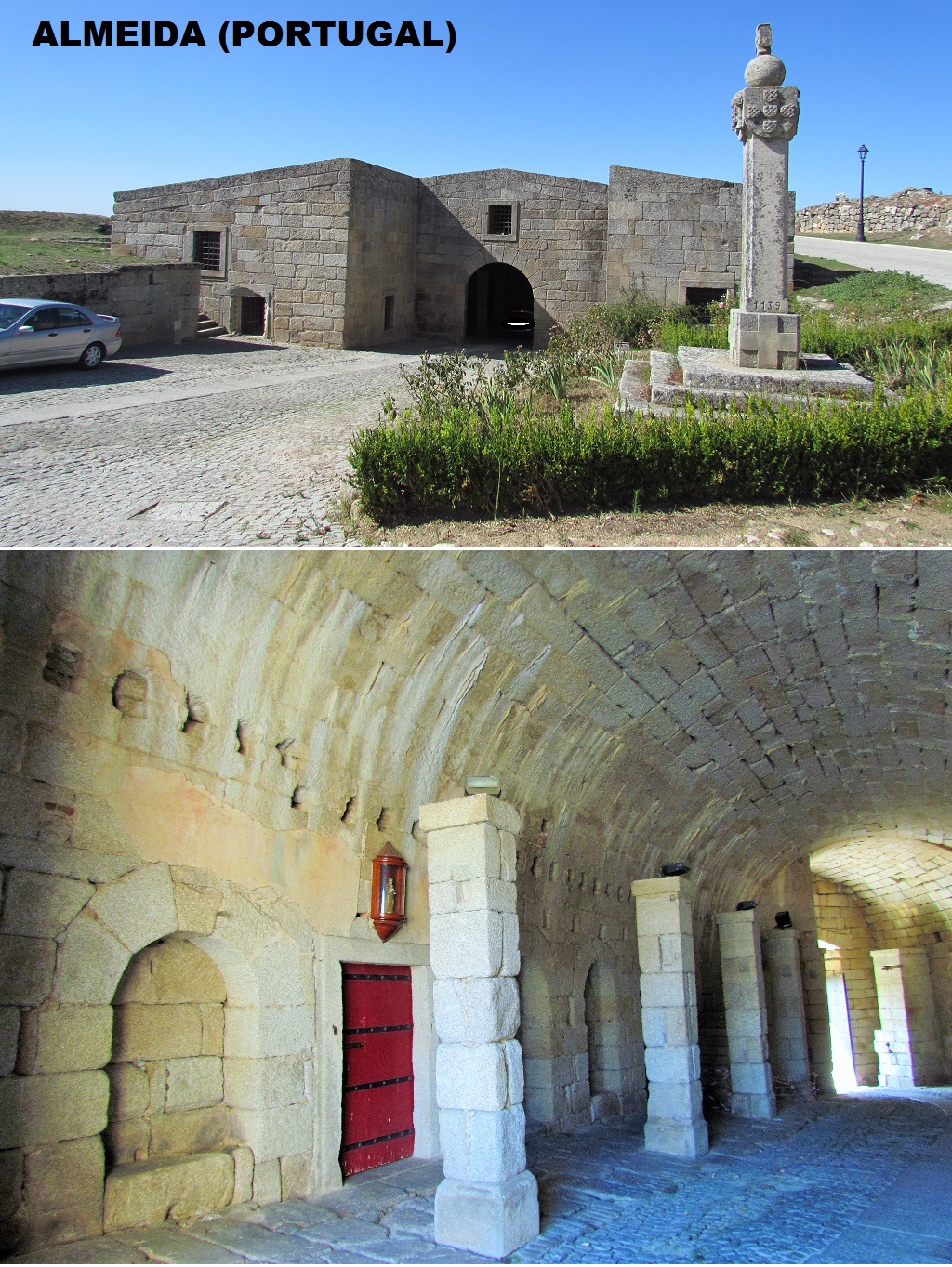
The seat of this municipality, the village of Almeida, which has about 1 300 inhabitants, is known for its fortress, which, with its twelve-pointed star shape, constitutes one of the most spectacular European examples of defensive systems in the 17th century. .
Distance and time to other important points in the country
Lisbon - 344 km; 3 h 20 min;
Porto - 230 km; 2 h 15 min;
Coimbra - 195 km; 2 h 5 min;
Castelo Branco - 130 km; 1 h 20 min;
Vila Real - 200 km; 2 h

It is only seen from space that "Almeida" is spectacular. This is due to the explosion of ammunition stockpiles during the French invasions. Due to its strategic position, it is interesting to retain the following episodes:
-The village was captured from the Moors in the 12th century;
- During the Seven Years' War (1754 to 1763) which involved most of the great powers of Europe, Spain with the help of France launched an attack on Portugal due to its alliance with Great Britain. As a result of the invasion Almeida was captured by Spain in 1762;
- The siege of 1810, during the Peninsular War, ended spectacularly when a chance shell ignited the main gunpowder magazine, which exploded, killing 500 defenders and destroying most of the town.


💓💓💓💓💓
SEARCH IN ALPHABETICAL ORDER
IN THE DISTRICT OF GUARDA

Aguiar da Beira;
Almeida;
Almendra;
Castelo Bom;
Castelo Melhor;
Castelo Rodrigo;
Celorico da Beira;
Figueira de Castelo Rodrigo;
Fornos de Algodres;
Freixo de Numão;
Golfar + A-do-Cavalo;
Almeida;
Almendra;
Castelo Bom;
Castelo Melhor;
Castelo Rodrigo;
Celorico da Beira;
Figueira de Castelo Rodrigo;
Fornos de Algodres;
Freixo de Numão;
Golfar + A-do-Cavalo;
Moreira de Rei (Trancoso);
Numão;
Pinhel;
Ranhados;
Sabugal;
Seia;
Serra da Estrela Nature Park;
Sortelha;
Trancoso;
Valhelhas;
Vila Nova de Foz Côa;
Vilar Formoso;
Numão;
Pinhel;
Ranhados;
Sabugal;
Seia;
Serra da Estrela Nature Park;
Sortelha;
Trancoso;
Valhelhas;
Vila Nova de Foz Côa;
Vilar Formoso;
💓💓💓💓💓
Return to mainland Portugal &
the Azores and Madeira islands

