Serra da Estrela Natural Park was the first natural park to be created in Portugal. It comprises a succession of plateaus that extend from Guarda, in the northeast, to the foothills of the Serra do Açor, in the southwest. It extends over 101 thousand hectares, spread over six municipalities (Gouveia, Seia, Manteigas, Celorico da Beira, Guarda and Covilhã), being the largest protected area in Portugal.
It is in the Natural Park of Serra da Estrela that the highest point of the Portuguese mainland is found at 1993 meters of altitude – the Tower.
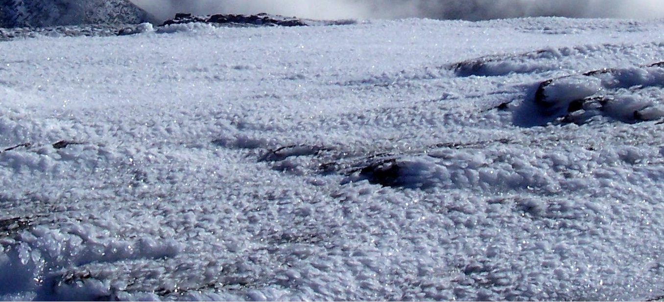
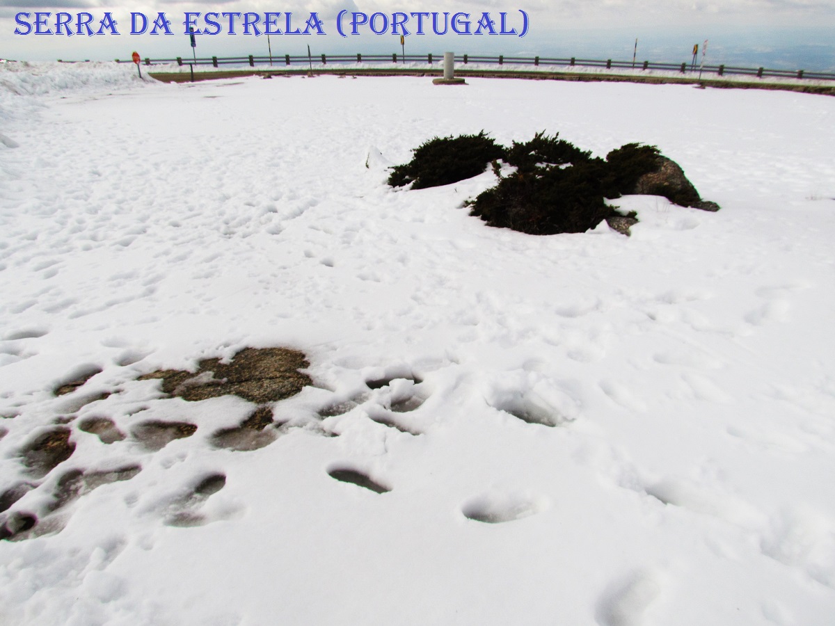
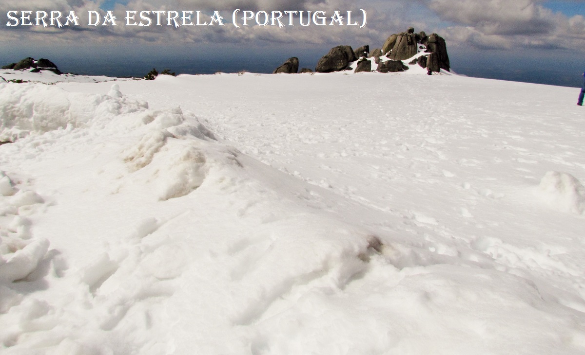
Its landscape is characterized by the granite and shale rock, the highland pastures, the autochthonous forest made of oak and candlewood, the countless traces of the last glaciation, the lakes, peat bogs and the sources of three important national rivers: Mondego, Alva and Zêzere, for the “casais” (thatched houses) isolated in the Serra and for the white blankets of snow in the coldest months.
The unique climate of the Upper Plateau of Serra da Estrela is determined by the fact that it is located in the transition between the mild and humid regions of the temperate oceanic domain, to the north, and the hot regions with dry summers, of Mediterranean influence, to the south. Its high altitude compared to the surrounding terrain, the general organization of the relief and the relative proximity to the Atlantic Ocean, around 100 kilometers away, play a decisive role in the complex mosaic of local climates that characterizes the region.
These climatic conditions, associated with a geographical situation that allows isolation, create exceptional conditions for the reproduction of populations of fauna and flora, which leads to the appearance of species, subspecies and exclusive varieties, such as the silene (Silene foetida foetida) or mountain gecko (lacerta monticola). For this very reason, the Council of Europe, in 1993, designated an area of 10,610 hectares as a Biogenetic Reserve, which represents approximately 12% of the total Natural Park.
The flora of Serra da Estrela is an example of this. Among the rocks and undergrowth, we discover the bellhop herminii, the seaweed, the spathularis saxifrage and the juniper, while at the same time trees like the chestnut, the oak, the Pyrenean oak, the pine bravo and the holm oak. On plateaus and valleys in the interior of the mountain range, between pastures, heather, rosemary and broom grow.
These landscapes are also the habitat for typical mountain fauna, for mammals such as the wolf, the wild boar, the otter, the fox, the genet and the European wild rabbit, flown over by the golden eagle and the winged eagle. -round-winged falcon, the eagle owl and the black kite and small reptiles and amphibians with endemic species such as the mountain lizard.
The Serra da Estrela Natural Park is also home to the Serra da Estrela dog and the Bordaleira sheep, the sheep breed that produces the milk that is the raw material for the famous Serra da Estrela cheese, a great protagonist of the region's gastronomy.
💓💓💓💓💓
COVÃO DOS CONCHOS
40.3639°N 7.6109°W
Covão dos Conchos is an artificial lake in the Serra da Estrela mountains in Portugal that is famous for its Bell-mouth spillway.
The spillway was built in 1955 with the aim of diverting water from Ribeira das Naves to Lagoa Comprida. It is a part of a hydro-electric dam system of Serra da Estrela. This sci-fi-looking spillway was little-known until photos of the hole went viral in 2016.
Over the last 60 years moss and foliage has grown onto the mouth of the funnel, adding to its ethereal allure.
It has a height of 4.6 meters and has a circumference of 48 meters. The tunnel that collects the water is 1,519 meters long.
How to get to Covão dos Conchos?
The only way to get to Covão dos Conchos is on foot, through the Covão dos Conchos trail.
Covão dos Conchos Trail
Length: 10 km (round trip);
Average time: 2h30 (round trip);
Linear and non-marked trail;
Beginning: Lagoa Comprida. From the Lagoa Comprida car park and if you are facing the regional products stores, you should take their left, where there is a dirt path (google maps);
End: Lagoa Comprida;
Difficulty level: easy;
Best time to go : Any time of the year, preferably in winter and spring.
Covão dos Conchos trail map
💓💓💓💓💓
POÇO DO INFERNO WATERFALL
40° 22′ 21″ N, 7° 30′ 59″ W
Poço do Inferno, as its name implies, is a well, or a small lake in the heart of Serra da Estrela. Resulting from a waterfall about 10 meters high, formed by the waters of the Leandres stream.
It is a Geopark Estrela geosite (BG 19), inserted in the Petrological category.
Located in the heart of the Serra at 1080 meters above sea level, the waters are icy, and in the most rigorous winters, it even turns into ice.
The water course of Ribeira de Leandres runs through the granite mantles, very characteristic of Beira, and encounters a natural barrier made of rock hardened by contact metamorphism, creating this waterfall worthy of being recorded.
On the slopes of S. Lourenço we find an extensive beech forest, a species of tree introduced in Serra da Estrela by the forest services. In autumn, due to the attractive color of the leaves, it attracts a large number of visitors, including nature photographers.
💓💓💓💓💓
COVÂO d’AMETADE
40.32841757930275º N; 7.589138746261597º W
An old lake of glacial origin and about 1500 meters above sea level, located at the foot of the Cântaro Magro and at the beginning of the Glacier Valley, where the Zêzere River begins to take shape, Covão d'Ametade is equipped with infrastructures to support the visitations that respect the sensitivity of the place.
From here you can contemplate the majesty and grandeur of the granite outcrop of Cântaros (Magro, Gordo and Raso). It is a poorly drained depression, located in a glacial hollow downstream from Covão Cimeiro.
Covão d’Ametade is one of the most iconic and most beautiful places in Serra da Estrela. It is a very attractive place due to the surrounding vegetation, mostly made up of birch trees, with the particularity of creating an ecosystem with great biodiversity.
Much sought after by winter and mountain sportsmen who choose to start their walks and climbs in this area along the hollows and rock formations. Ideal for resting and relaxing with family and friends.
💓💓💓💓💓
ZÊZERE GLACIER VALLEY
40.36631406189º N; 7.552070617675º W
Glacier valley, or U-shaped valley is the term used to define a valley of glacial origin, found in mountain regions resulting from the erosion work of a glacier that previously occupied the current valley. Its characteristic shape is at the origin of being called valley in U.
The Glacier Valley through which the Zêzere River flows is the largest glacier valley in Europe and extends for 13 kilometers in length, from the Central Massif of the mountains to the village of Manteigas. The Glacier Valley serves as the cradle of the Zêzere River and gives life to the dozens of herds of goats and sheep that stretch along its slopes.
The best way to appreciate this magnificent valley is by car on the N338 national road that connects Manteigas to Torre, or on foot, through the 17km trail, the Rota do Glaciar. Along the route, it is not difficult to become captivated by the steep slopes and the granite balls that miraculously hang from the peaks of the Serra.
💓💓💓💓💓
ROSSIM VALLEY
40.401376º N, 7.5883962º W
The River Beach of Vale do Rossim is inserted in an artificial lagoon, in Penhas Douradas, in the heart of Serra da Estrela. It is the highest river beach in Portugal, standing at 1437 meters above sea level. Classified as a Gold Quality beach, don't miss the opportunity to dive or practice some water activity in these clear waters. We can even consider that it is one of the best beaches in Serra da Estrela. So what are you waiting for? Put on your bathing suit and enjoy the clear waters of Serra da Estrela.
Around the river beach, you can enjoy a small stretch of sand bordering the lagoon with blue waters and with a setting in perfect harmony with the wild nature. In addition to the fantastic diving or nautical activities that you can practice on this beach, don't hesitate to take a walk in the surroundings and get to know the Upper Plateau of Serra da Estrela better.
If you like walking, one of the recommendations is to walk the trail that connects Vale de Rossim to Nave da Mestra. It is a demanding 14 kilometer walk, but it will be worth it to visit Vale das Éguas and have a privileged view of Penhas Douradas and cross the famous Talisca da Mestra crevice.
You won't have much trouble getting to the beach by car. Follow the following coordinates: 40.401376,-7.5883962
💓💓💓💓💓
SERRA DA ESTRELA
N 40º 19'18'' ; W 7º 36' 46''
Serra da Estrela, located in the Centro region (Beiras Region), designates the mountain range where the highest altitudes of mainland Portugal are found. Its highest point, at 1993 meters high and called Torre, makes it the second highest mountain in Portugal (only the Pico Mountain, in the Azores, surpasses it by 358 meters). It is part of the widest mountain range called the Central System, in the subsystem designated as Montejunto-Estrela mountain system, which develops in the southwest-northeast direction from the Montejunto mountain range, and its parent peak is the Pico de Almançor. Serra da Estrela is a landscape area integrated in the Serra da Estrela Natural Park, which after its constitution on July 16, 1976 was established as the largest protected area on Portuguese soil.


.JPG)
.JPG)

.JPG)


.JPG)

.JPG)


.JPG)


.JPG)

.JPG)


.JPG)
.JPG)


.JPG)


.JPG)
.JPG)


.JPG)
.JPG)


.JPG)
.JPG)

.JPG)


.JPG)


.JPG)
.JPG)


.JPG)


.JPG)


.JPG)


